
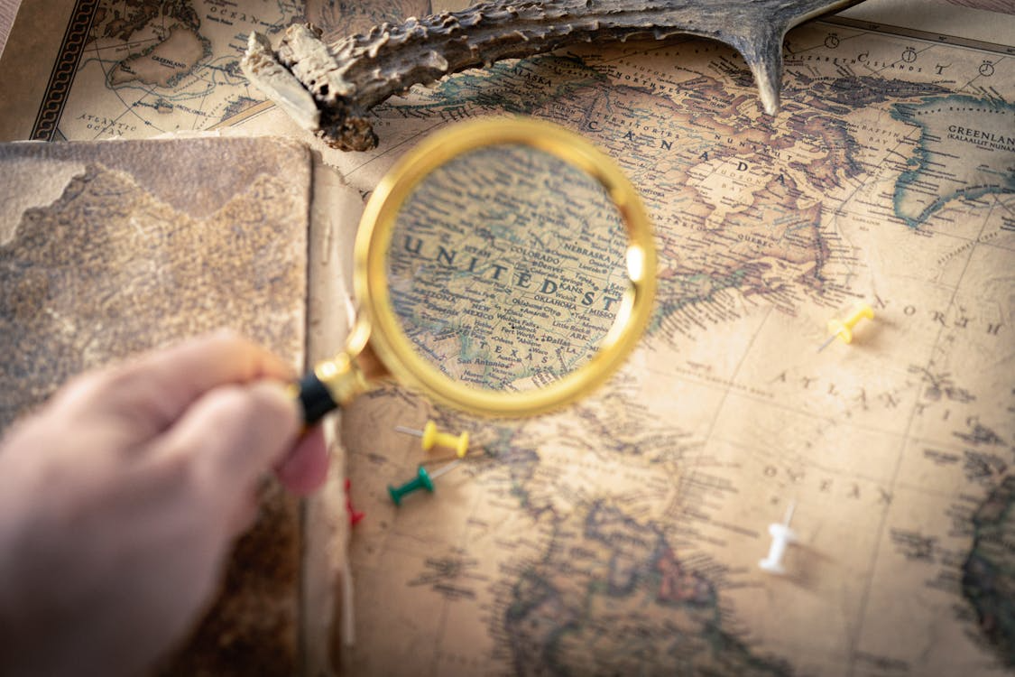
Throughout history, maps have helped people make sense of the world around them.
Most people think of maps as practical tools for navigation, but maps that tell stories do far more than show where things are located. We use them to find destinations, plan routes, and understand geography. They reveal patterns, document historical events, illustrate human behavior, and tell stories that would be difficult to understand in any other format.
Some maps have influenced major decisions, changed the course of events, and provided insights that continue to shape our understanding of history, culture, and society.
More Than Geography
The most fascinating maps are often about much more than location.
A map can display migration patterns, trade routes, population growth, language distribution, transportation networks, or environmental changes. By organizing information visually, maps allow people to see connections that might otherwise remain hidden.
For example, a map showing the spread of railroads can reveal how cities grew and economies developed. A map of shipping routes can demonstrate how goods moved across continents. A map of population changes can illustrate decades of social transformation in a single image.
These visual stories help make complex information easier to understand.
Sometimes a map can explain an entire historical trend more effectively than pages of text.
See Historic Neighborhoods Frozen in Time for place-based history.
Maps That Changed History
Certain maps have had a profound influence on human events.
Explorers relied on maps to navigate unknown regions. Military leaders used them to plan campaigns and defend territories. Governments drew borders that shaped nations and affected millions of lives.
In some cases, inaccurate maps influenced history just as much as accurate ones. Early mapmakers often worked with incomplete information, leading to mistakes that persisted for generations. These errors occasionally affected exploration, settlement, and political decisions.
The history of cartography is filled with examples of maps shaping how people viewed the world and their place within it.
Maps do not merely record history. Sometimes they help create it.
Explore Historic Mysteries That Remain Unsolved for more historical questions.
Revealing Hidden Patterns
One of the most powerful uses of maps is their ability to uncover patterns.
Researchers frequently use maps to identify relationships between different types of information. Public health officials, environmental scientists, historians, and urban planners all rely on mapping techniques to better understand complex systems.
A well-designed map can reveal trends that are difficult to recognize in spreadsheets or written reports. Clusters, connections, and anomalies often become immediately visible when data is displayed geographically.
This ability to transform information into insight is one reason maps remain such valuable tools.
They help people see the bigger picture.
Learn Everyday Sounds You Probably Never Thought About for another hidden pattern.
Historic Maps as Time Capsules
Old maps provide fascinating glimpses into the past.
They show how cities, countries, and landscapes looked before modern development transformed them. Roads, rivers, neighborhoods, and borders often appear very different from their modern counterparts.
Historic maps also reveal how earlier generations understood the world. Some contain decorative illustrations, artistic flourishes, and geographic assumptions that reflect the knowledge available at the time.
For historians and curious readers alike, these maps function as visual time capsules.
They preserve not only information about places but also information about the people who created them.
Why Maps Continue to Fascinate Us
Part of the enduring appeal of maps comes from their ability to combine art, science, and storytelling.
A map can guide travelers, document history, explain complex data, and inspire curiosity all at the same time. It transforms information into something visual and accessible, allowing people to explore relationships that might otherwise remain invisible.
Maps also appeal to a deeply human desire to understand the world. Whether charting distant lands, tracking social trends, or illustrating historical events, they help us make sense of complexity.
The next time you look at a map, take a moment to consider what story it might be telling. Beyond roads and place names, there may be insights about history, culture, migration, economics, or human behavior waiting to be discovered.
The best maps do more than show where things are. They reveal why things happened, how they changed, and what they mean. In that sense, every great map is really a story told from above.
Check Libraries That Feel Like Secret Worlds for more history-rich spaces.